









GCS-0800 (Planix) Urban Planning & Zoning Department
Original price was: ₱6,004,687.50.₱0.00Current price is: ₱0.00.
Proactive planning ensuring orderly growth and compliance.
| Land Area: | 1.22 hectares |
512 in stock
Government & Civic Services District
GCS-0800 (Planix) Urban Planning & Zoning Department
Smart planning for connected cities.
Vision and Identity
Planix envisions a city that grows wisely and sustainably. With GIS, digital twins, and public consultation tools, it plans neighborhoods that are resilient, connected, and green. Planix aligns daily permits with a long-term, people-first vision.
Architecture and Features
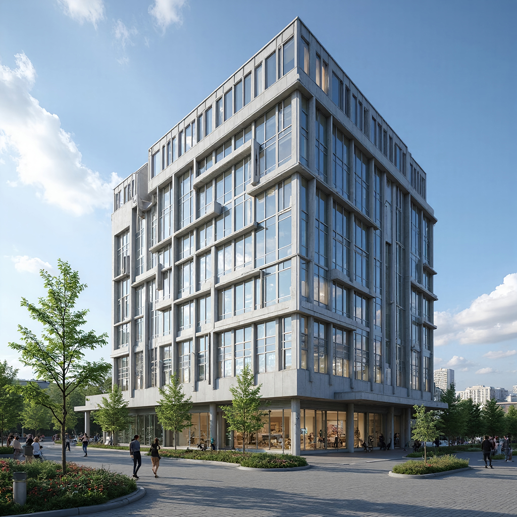
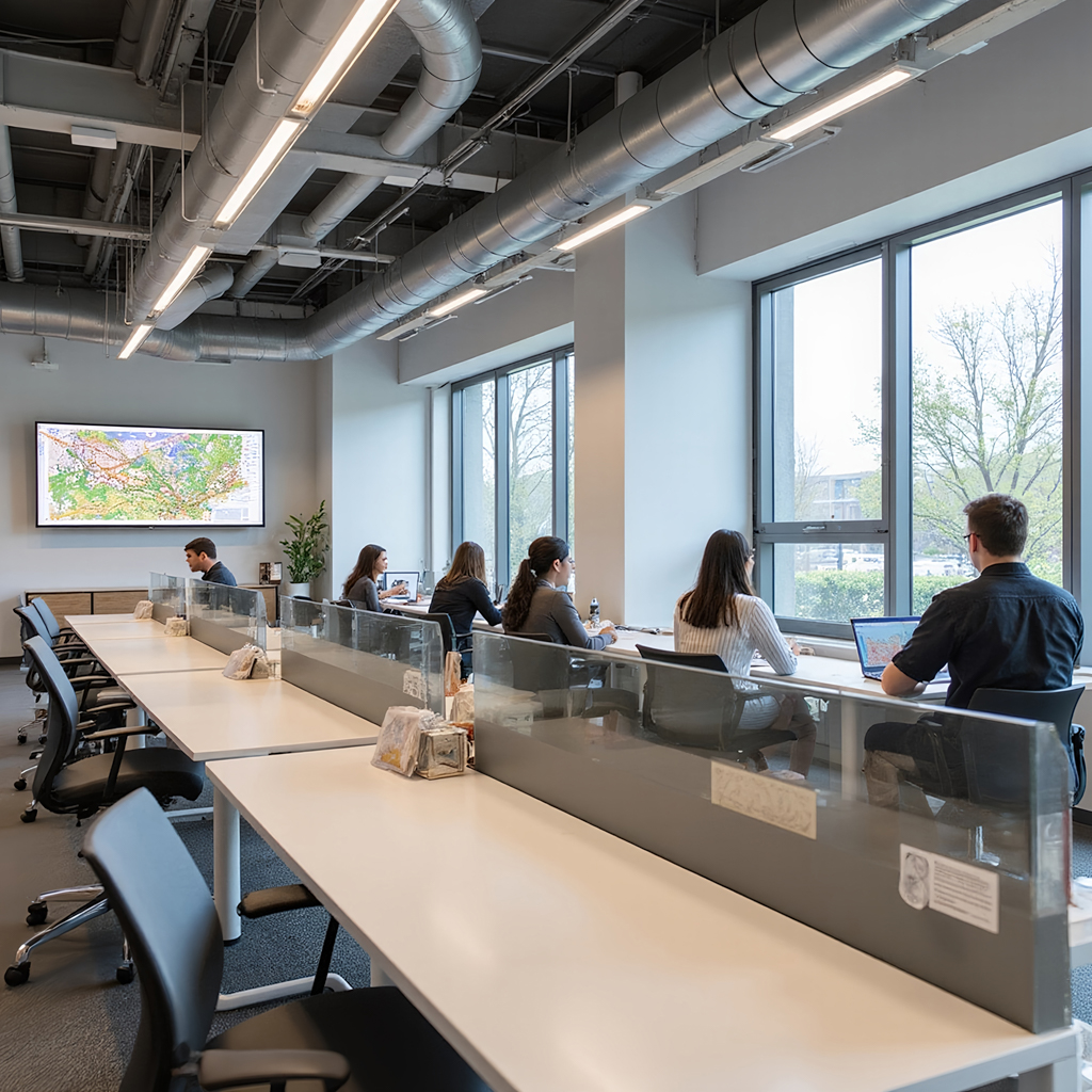
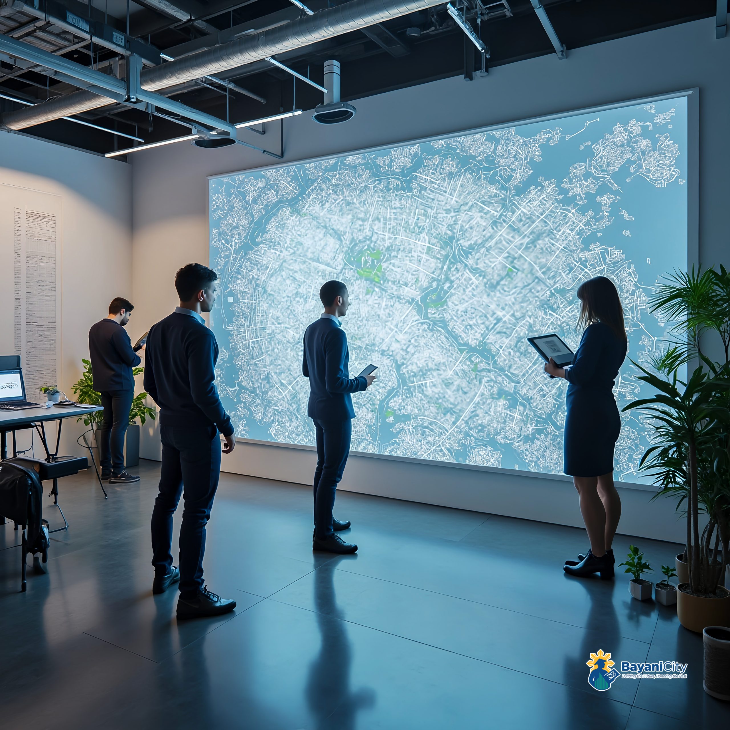
Planix houses a GIS theatre with immersive 3D city twins, flanked by planning studios and public consultation galleries. Drone bays and materials labs support rapid site surveys and model-making. A transparent ground floor hosts open planning exhibitions for community feedback. High-performance façades and planted loggias reflect the departments sustainability mandate.
Lifestyle and Experience
A living 3D model of the city floats across a wallfuture parks, transit lines, and homes coming into view. Planners invite your feedback, and your ideas actually shape the map. Growth looks thoughtful, green, and fair. You leave feeling the future is planned with you, not for you.
Sustainability and Innovation
City planning goes data-first with GIS twins, drone mapping, and scenario simulators to test growth, climate, and mobility options. Code-driven zoning improves transparency and speeds approvals. Green infrastructure standards and heat-risk layers guide resilient design. Planix aligns sustainable land use with clear, predictable rules.
Investment and Value
Data-driven planning (GIS, digital twins) optimizes land use and infrastructure sequencingcutting CAPEX waste. Transparent zoning and faster approvals unlock earlier private revenues. PPP fees tied to platform availability and planning SLAs provide steady returns. Raises masterplan credibility, lifting valuations across corridors.
The central authority for land use, zoning, and city development planning. Equipped with GIS systems, data analytics, and community consultation platforms, it guides sustainable growth and urban renewal. The department ensures balanced development, environmental protection, and alignment of projects with the citys long-term vision.
A high-tech urban planning office managing city growth, zoning approvals, and sustainability initiatives. Featuring real-time 3D city models, drone mapping, and environmental impact simulation tools.
Key Features:
| Investment Highlights: | Proactive planning ensuring orderly growth and compliance. |
| Value Proposition: | The Smart Urban Planning Hub |
| Benefits: | Enables sustainable city growth |
| Why it Matters: | Guides sustainable development |
| Role: | Shapes sustainable city growth |
| Core Objectives: | Sustainability, innovation |
| Mission Statement: | Designing the city of tomorrow. |
| Key Features: | GIS systems, zoning |
| Land Area: | 12,200 sqm |
| Projected Gross Income per Year: | PHP 307,440,000.00 |
| Valuation: | PHP 31,128,300,000.00 |
| Initial Business Model: | Unit Lease |
| Main Business Model: | Planning Services |
| 2nd Business Model: | GIS Analytics |
| Other Income Streams: | Consultancy, Training |
| Estimated ROI Timeline: | 9 years |
Specifications:
| Building Size: | 68.5m(w) x 89m(l) x 25.9m(h) |
| Building Features: | 4-storey Planning/permit hall; 3.5 m typical for open offices + GIS ceilings. |
| Unit Features: | 95 sqm / unit |
| Number of Buildings: | 2 |
| Units per Building: | 256 Planning offices & GIS operation rooms |
| Total Number of Units: | 512 total units |
| Selling Price per Unit: | PHP 6,004,687.50 / unit |
| Lease Rate per Unit per Month: | PHP 50,039.06 / mo |
Related products


Government & Civic Services District
Integrated command improving citywide resilience and insurance profile.
| Land Area: | 1.82 hectares |


Government & Civic Services District
Real-time city operations improving safety, traffic, and utilities.
| Land Area: | 1.52 hectares |


Government & Civic Services District
One-stop permitting improving ease of doing business.
| Land Area: | 1.22 hectares |


Government & Civic Services District
Social support network strengthening inclusive growth.
| Land Area: | 1.22 hectares |


Government & Civic Services District
Modern justice services supporting commercial certainty.
| Land Area: | 1.52 hectares |


Government & Civic Services District
Civic venues enabling engagement, culture, and events.
| Land Area: | 2.03 hectares |


Government & Civic Services District
Knowledge infrastructure driving lifelong learning and literacy.
| Land Area: | 1.22 hectares |


Government & Civic Services District
Digital government lab accelerating service innovation.
| Land Area: | 1.22 hectares |


Government & Civic Services District
GCS-0100 (Civica) City Hall & Local Government Unit (LGU) Offices
Governance anchor ensuring service access and investor confidence.
| Land Area: | 2.03 hectares |